
GIS and Spatial Solutions

GIS and Spatial Analysis for Built-Environment Professionals

Practical spatial data handling, analysis and map production for planning, land and infrastructure work.

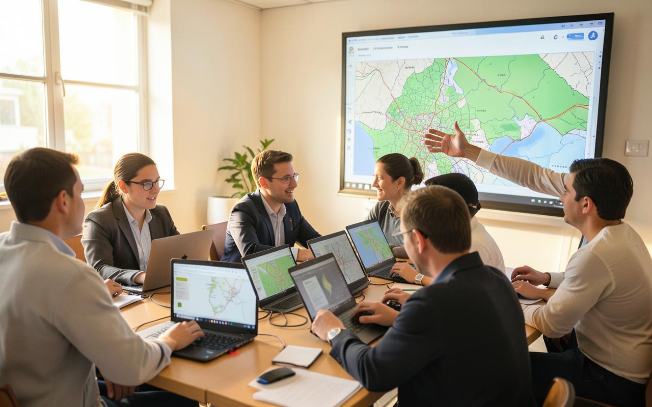
Training participants working at laptops while a tutor explains layered mapping on screen
Illustrative image — GIS and spatial analysis work.

Course overview

A working introduction to geographic information systems for professionals who need to interrogate land, infrastructure and settlement data rather than administer software. The programme moves from data sourcing and coordinate systems through to analysis and defensible map output, using planning-style tasks throughout.

Who it is for

  • Planning professionals
  • GIS and geospatial staff
  • Engineers and surveyors
  • Public-sector and agency teams

What participants will learn

  • Source, assess and organise spatial data for a planning task
  • Work confidently with coordinate systems, projections and data quality issues
  • Run common analyses such as buffers, overlays, proximity and suitability
  • Produce clear, correctly referenced maps for professional reports

Curriculum outline

  1. Module 1

    Spatial data foundations

    • Vector and raster data, attributes and metadata
    • Coordinate reference systems and projection pitfalls
    • Sourcing, cleaning and documenting datasets
  2. Module 2

    Analysis for planning questions

    • Overlay, buffer, clip and spatial joins
    • Constraint mapping and simple suitability analysis
    • Accessibility and proximity measures
  3. Module 3

    Communicating spatial results

    • Map composition, symbology and legibility
    • Scale, north point, legend and source attribution
    • Exporting map figures for reports and presentations

Expected practical outcomes

  • A completed constraint and suitability analysis for a sample site
  • A set of report-ready map figures produced to a consistent standard
  • A repeatable personal workflow for organising spatial project data

Prerequisites

  • General computer literacy
  • No prior GIS experience required

Also in the Academy

Related programmes

Other Ideeplan Academy programmes covering adjacent skills.

Interested in this programme?

Register your interest and Ideeplan Consult will discuss subject, format and timing with you.

Discuss a Project