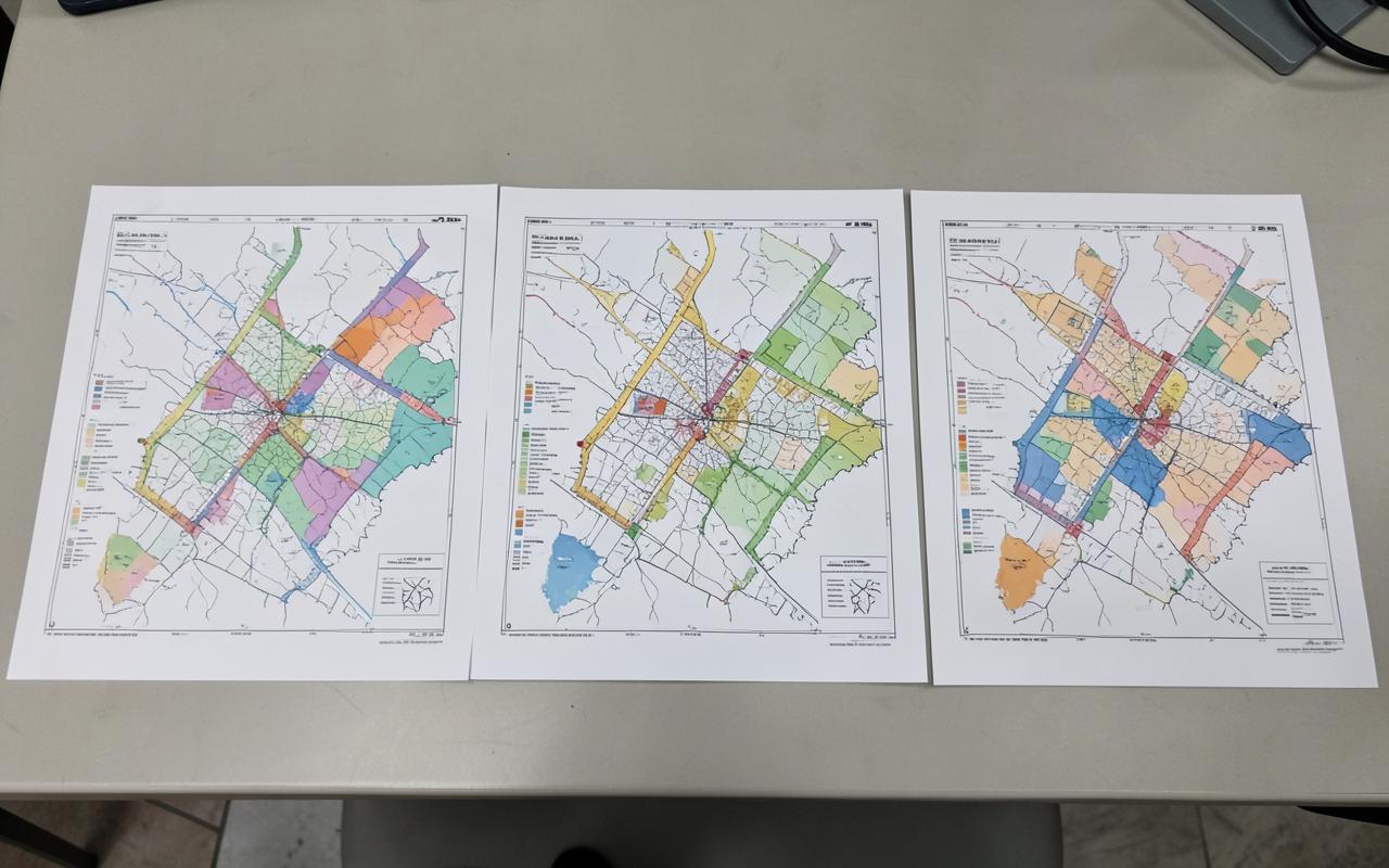
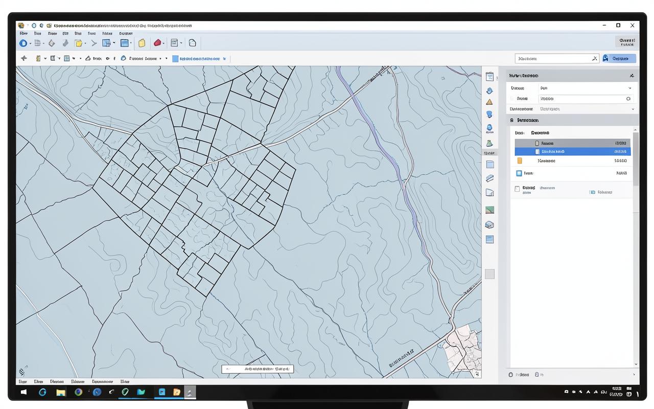
A coordinated set of thematic maps — land use, access, constraints, land ownership pattern and analysis overlays — prepared for reports, submissions and stakeholder review.
Map seriesCommissioned ResearchCommission OnlyAvailable for Commission
Status: Available for Commission. Produced to a client brief under a written commission. No standing document is held.
This report is not currently published or available for purchase. You may submit an enquiry about commissioning related research or requesting future availability.
Currently available
The written description, scope, audience and method summary on this page.
An anonymous enquiry about commissioning related research or future availability.
Outstanding
No approved report file, preview or download.
No price, currency, checkout or payment product.
No purchase, order, licence or access entitlement.
An enquiry does not confirm purchase, payment, delivery, publication, access, commission or partnership.
Illustrative practice image. It does not depict this product's study area, dataset or client.
Overview
Cartographic production applying a consistent legend, hierarchy and annotation system across the whole series, so that a report reads as one document rather than a folder of unrelated exports.
The professional need
Inconsistent or unsourced mapping undermines otherwise sound planning evidence during review.
Key questions addressed
Which themes need to be mapped for this decision or submission?
How should the series be styled to stay legible in print and on screen?
What must appear in every map's source, scale and legend statement?
Methodology and evidence basis
Agreed thematic schedule confirmed with the client before production
Source and date credited on every sheet
Consistent symbology, scale bar, north point and legend structure
Typical outputs
Print-ready thematic map sheets
Legend and symbology standard
Source and licence credits per sheet
Source and attribution
Attribution
Ideeplan Consult
Publication date
Details to be confirmed
Version
Details to be confirmed
Access route
Produced under commission
Method verified against Ideeplan Consult's GIS and technical documentation services. No sample sheets from client projects are republished here.
No external source link is published for this record. Details to be confirmed.
Related work
Industrial Layout Design — Indonesia
A warehousing and distribution layout for a client in Indonesia, organising several large warehouse buildings with a dedicated container and loading yard along a central access road, presented as a three-dimensional animation.
No product on this page is currently purchasable or downloadable. Prices, availability, delivery and commissions are not confirmed by an enquiry: a request only opens a conversation with the Ideeplan Consult team.
No Ideeplan Consult report or digital product is published, priced, purchasable or downloadable on this website. Records describe work produced under commission or in preparation, and every access, licence and payment route is disabled until an approved document, terms and delivery process exist.
Have a planning challenge to discuss?
Share your project context, requirements and timeline with Ideeplan Consult.